Rock - R2A
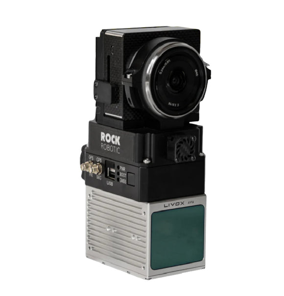
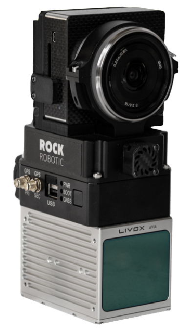
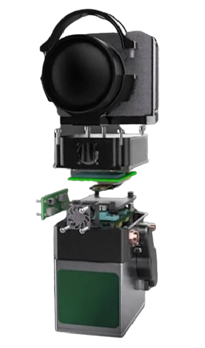
Capture both colorized 3D Point Clouds and Orthophotos in one flight.
Sony α5100
24 MP Sony camera is co-aligned with the LiDAR sensor to capture RGB photos while you fly. After you land colorize your LiDAR data and also produce geotagged photos that can be later used for photogrammetry.
Livox Avia
240,000 laser pulses per second, up-to 3 returns, a total of 720,000 range measurements per second, maximum detection range of 450m, a field of view of 70.4 degrees, and range accuracy of 2cm makes this a perfect solution for aerial survey grade data acquisition.


