OVERVIEW
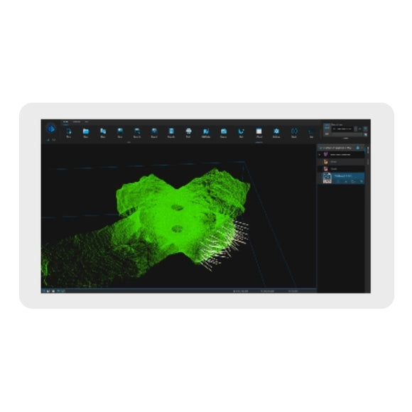
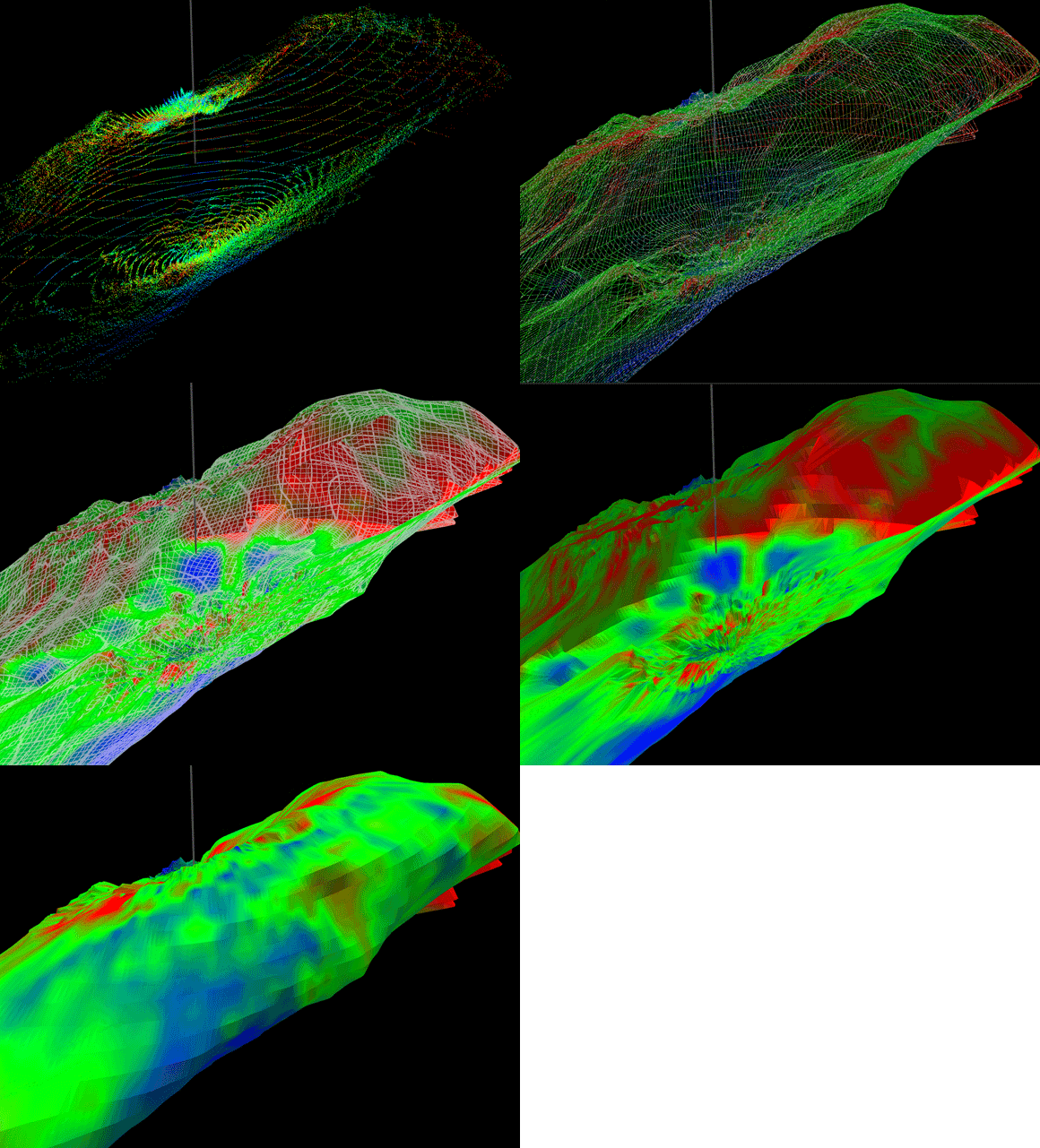
Carlson Scan is the free operational software for the Boretrak2®, C-ALS®, and Void Scanner+ (VS+). It enables full control and function of each system and can run on a Windows-based laptop, Android-based mobile device, or tablet. Scans are displayed in real-time as data is collected with both points and a solid mesh available to view.
Scan features post-processing tools for analyzing, geo-referencing, and editing data. Data can be exported via common industry file formats for further processing and integration with widely-used mining and CAD software packages like Carlson Mining and Carlson Point Cloud.
CARLSON SCAN FOR THE BORETRAK®2
The Boretrak2 borehole deviation measurement system is a simple-to-use, gyro-based system for measuring the deviation of boreholes drilled in underground mines or on the surface in quarries or open-pit mines. As a successor to the widely used Cabled and Rodded Boretrak systems, the fundamental capabilities of the Boretrak2 are backed by over 35 years of in-the-field history. The features of both units have been combined into a single all-purpose unit capable of measuring boreholes in any inclination: down, up or horizontal.
Carlson Scan is used to calibrate, operate, and deploy the Boretrak2. Scan’s reporting capability allows operators to compare the initial drill and blast design to the actual drilled result. This provides the blast engineering team an opportunity to verify or recalculate their design as needed. Results of a Boretrak reading can also be exported and imported to design plans for further planning.
By utilizing the Boretak2, sites can ensure optimal safety, blast efficiency, and uninterrupted productivity.
CARLSON SCAN FOR THE VOID SCANNER+
The Void Scanner+ (VS+) is a specialized, ruggedized instrument. VS+ uses time-of-flight laser measurement to map the shape, position, and spatial location of voids, which helps ensure both the safety of personnel and the protection of stock and underground sites. VS+ data is used to ensure more efficient and profitable mineral extraction. With accurate, up-to-the-minute site maps, you can better monitor progress, improve planning, reduce wastage, maximize extraction, and speed up project timescales.
Carlson Scan is the deployment and operational software for the VS+. Scan enables VS+ operators to scan from multiple locations and view the resulting scans together in real-time for a complete 3D representation of the site. VS+ data can be used to monitor and control ore loss and dilution by comparing the scanned stope with the design data. Scans also provide a record of daily productivity to support crucial decision-making.
The VS+ features versatile deployment and application possibility — each supporting the challenges of underground surveying.


